


Welcome to the College of Fisheries and Ocean Sciences, where our world-class faculty educate future leaders in fisheries and marine science. Our research addresses pressing issues in aquatic ecosystems from the Arctic to Antarctica. We invite you to explore our website and welcome any questions you may have.

Explore our programs
At the UAF College of Fisheries and Ocean Sciences, we challenge our students to explore academically, geographically and culturally. Our community of scholars provides opportunities for students to learn and conduct research in some of the most beautiful and pristine locations in the world.

Project will study whether algae absorbs enough of the valuable metals from surrounding seawater to be a low-impact alternative to mining.

Analysis of a massive genetic database uncovers fascinating details about the most abundant salmon species.

The finding suggests that some salmon species could be expanding to new territory as climate change reshapes their habitat.
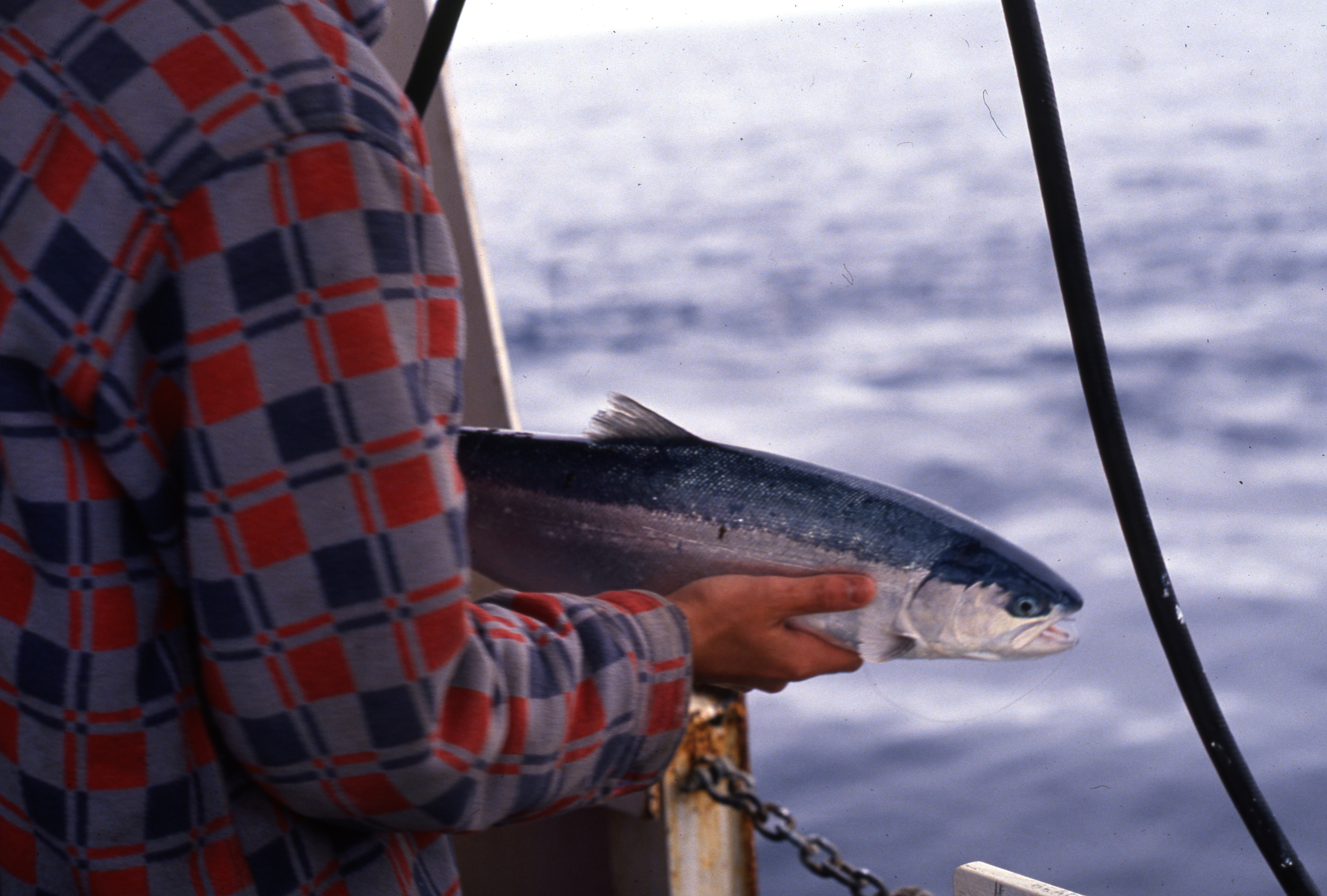
Huge database gives insight into salmon patterns at sea
April 16, 2024
A massive new analysis of high seas salmon surveys is enhancing the understanding of salmon ecology, adding details about where various species congregate in the North Pacific Ocean and their different temperature tolerances.
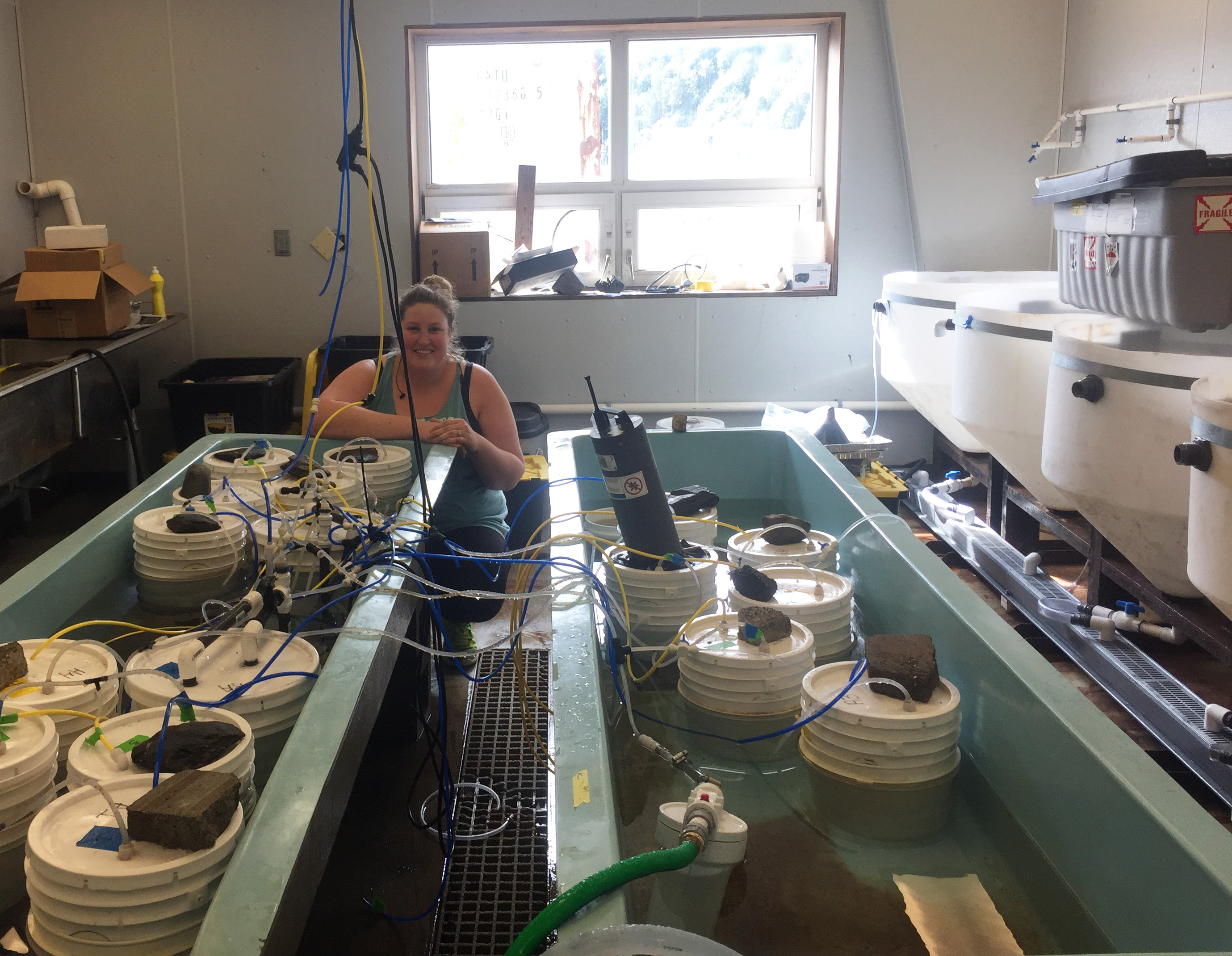
Study shows razor clam development affected by ocean acidity
March 07, 2024
A new University of Alaska Fairbanks-led study has found that razor clams accelerate their shell development when exposed to more acidic ocean conditions, but that those young shells are built with more fragile substances.
Researchers use new techniques to map vast history of tropical fishes
January 03, 2024
An international research team has assembled an unprecedented "tree of life" for a group of more than 150 related tropical fishes, a project that uncovered clues about how distinct species were likely able to evolve over millions of years.